*this is Part 2 of a series I’m doing on a few of the areas in Colorado where you can often still find snow throughout some or all of the summer. Check out Part 1 Here. I am by no means an expert, so think of this more as an intro to the zones, rather than a comprehensive guide. These are all backcountry areas, so make sure you have the necessary experience, gear, and partners to travel safely in this kind of terrain*
Well, we’re already halfway through June and the summer heat is starting to take its toll on the snowpack. However, you can still easily deny summer’s existence in several areas of Colorado. I had planned on posting a guide to some areas in the I-70 corridor, but increased hours at work have limited my trips to spots closer to my house in Fort Collins. So, while I wait for a free weekend where I can put in some overnight trips further south, here’s some more options in the Cameron Pass area that are still holding plenty of good snow.
Southern Medicine Bow Range
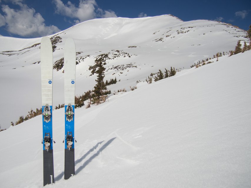
Peak 12,386'. 5/31/17
Trailhead: Blue Lake
Trailhead Elevation: 9.485’
Approach Distance to Base: 4-6.2 miles
Map: Here, courtesy of Front Range Skimo
To be honest, until a month ago I didn’t even know the Medicine Bows ran all the way into Colorado, but these often-overlooked peaks offer some fantastic skiing if you’re willing to put in the miles. The approach to the base of the lines is about 4 - 6 miles, although it’s pretty flat and not very strenuous. Once you arrive above treeline, you’ll be presented with a plethora (fancy word!) of potential ski descents. There are four main mountains to ski: the three unnamed Sawmill Creek Peaks (Peak 12,170’, 12,386, & 12,390) and Clark Peak.
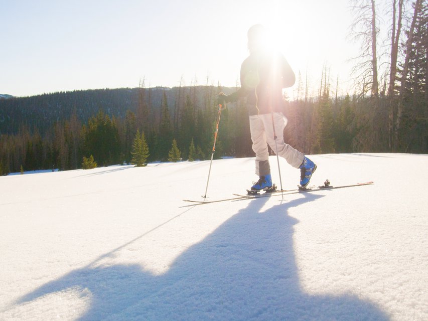
You'll be doing a lot of this. 5/31/17
All four share an approach for the first ~2 miles. Fair warning - the trail is very flat and the first couple miles will likely be devoid of snow, so be prepared to do some hiking. They all also face east, so I’d recommend an early start in order to get the best/safest snow. Park at the Blue Lake Trailhead, gear up, pack lots of snacks, and then head south on Highway 14 over the bridge until you see a trail on your right (about 0.2 miles). You’ll take this old logging road/trail for about 2 miles until you see a split with a tree with four arrows, 2 pointing each direction.
For Clark Peak, head right and down to Sawmill Creek. You’ll follow this for about 1.5 miles, skinning parallel to an East/West ridge on your right, bearing left at a major split, and eventually ending up at a dead end. From here you’ll follow below the ridge up a headwall, continuing West until you find yourself below Peak 12,390’. You can then head North up to the saddle of the ridge that you had been hiking below, and follow it west to the summit ridge of Clark Peak. Follow the ridge North towards the summit (about 0.9 miles). Clark offers a variety of descents, with most being wide open, mellow alpine bowls. Pick your favorite, and either trace your way back to your approach or head Northwest to meet up with the Blue Lake Trail (I haven’t done this descent, so you might want to look into it more before attempting it).
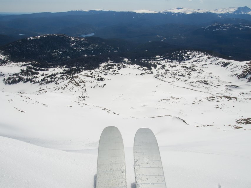
Summit of Peak 12,386': A couple thousand feet of corn is your reward. 5/31/17
Although Clark is the only named peak, and the tallest, the Sawmill Creek Peaks offer a ton of really fun terrain, and are a great area to try some longer linkups. To get to the base, head left at the split with the four blue arrows and follow the trail till it spits you out above treeline. Once above treeline, take your pick between the three, or go after them all if you can time it right. Peak 12,170’ (the furthest South, and looker’s left) has a central couloir that is fairly steep (high 30 degrees) and best approached via a bootpack, although you can hike up it’s ridges for a longer, but less-steep approach. The middle Peak 12,386’ is the one I chose, as its broad east face gives you over 1000’ of wide-open corn skiing, when timed right. This one is most easily accessed from its northeast ridge, and the last 500’ or so will likely require booting up. The furthest right Peak 12,390 has the steepest skiing of the three, and the best approach is to head up from the ridge connecting it to Peak 12,386’. Any of these summits would make a great day, and if you’re willing to wake up early and put in the effort, a linkup of all three is definitely worth a look (hit me up if you need a partner).
South Diamond Peak - 11,701’
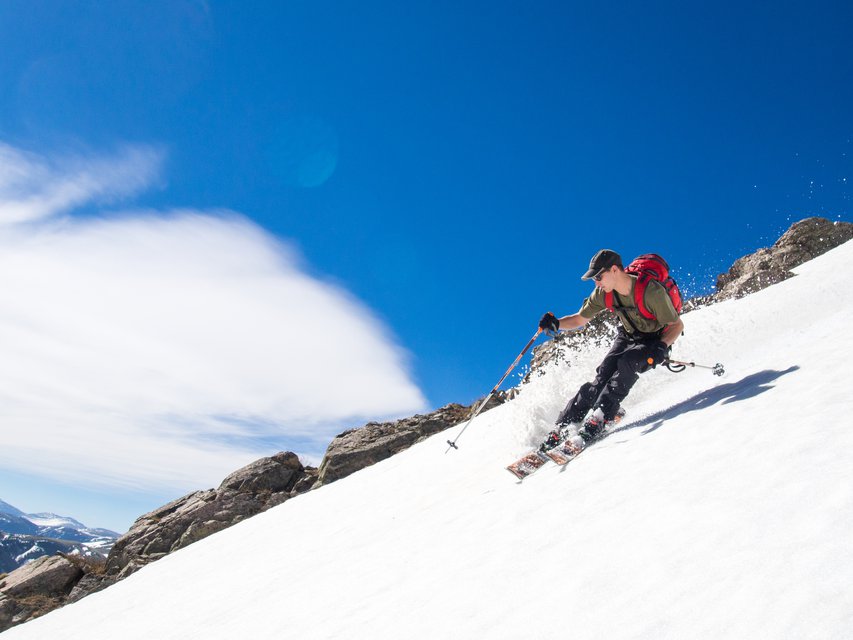
Matt cruising down South Diamond. 6/10/17
Trailhead: Cameron Pass
Trailhead Elevation: 10,276’
Approach Distance: ~2 miles
Map: Here
Compared the the approach to the Medicine Bows, South Diamond Peak is a cakewalk. After parking at the Cameron Pass Trailhead, you shouldn’t have to hike long before reaching the skintrack. If you’re comfortable with the snowpack and have gotten an early start, you can skin southwest up the old avalanche path towards the bench below the large Northeast face. A safer option is to set a skintrack through the tight trees. Once you get to the flat area, the easiest route up is usually to skin to the ridge looker’s right and take that to the summit ridge. Sometimes a bootpack is easier, especially if you’re not getting much help from your skins. From the top you’ve got several options to make your way down the face. There’s a couple gullies and ridges to pick around, but be wary of the rapid warming of snow near the exposed rocks. It’s a good idea to get to South Diamond early, as it get’s sun right away and warms quickly. However, all the windloading over the winter keeps it well-stocked with snow, and you should be able to find good corn if you time it right.
Montgomery Bowl - 11,408’
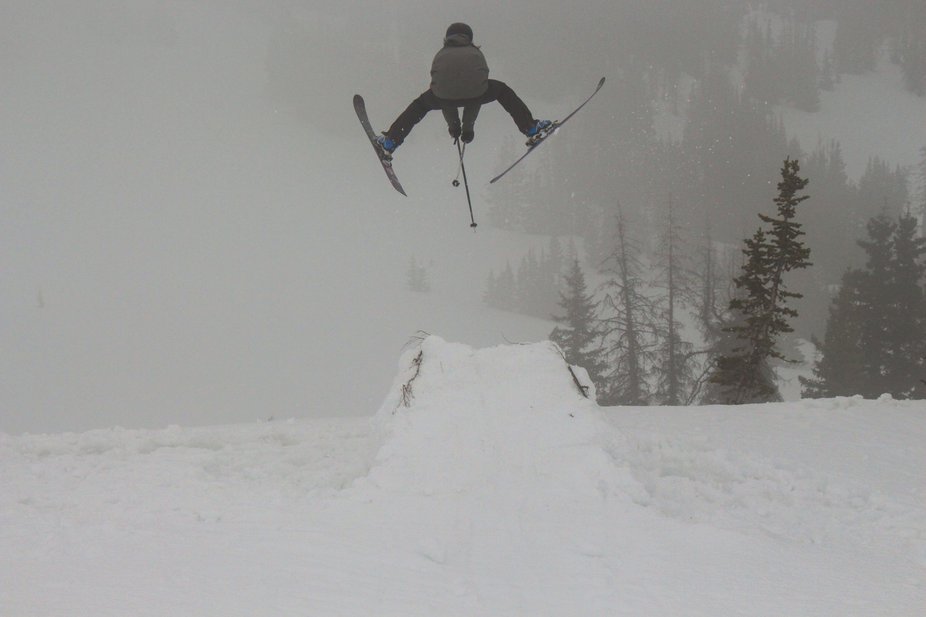
If the weather doesn't cooperate - Cossack. 5/25/17. pc: @rickmills_
Trailhead: Zimmerman Lake
Trailhead Elevation: 10,015’
Approach Distance: ~2 miles
Map: Here
Monty Bowl is a classic Cameron Pass zone that’s popular with beginners, especially during the winter due to it’s low angle and safe approach. During the early summer, it’s a great option for a mellow day, and is a fantastic spot to build a jump. Park at the Zimmerman Lake Trailhead, cross the highway, and head West along a trail marked with blue arrows. Head left at the marked split, following the arrows pointing towards “Bowl” on the sign. Once above treeline, you’ll have a view of the short bowl, and can skin up to the corniced ridge for some quick, easy laps. The bowl is pretty short on vert, but it’s a good spot to see how many laps you can get in before the East-facing snow gets too soft, or carve out a nice booter and session that for the day.
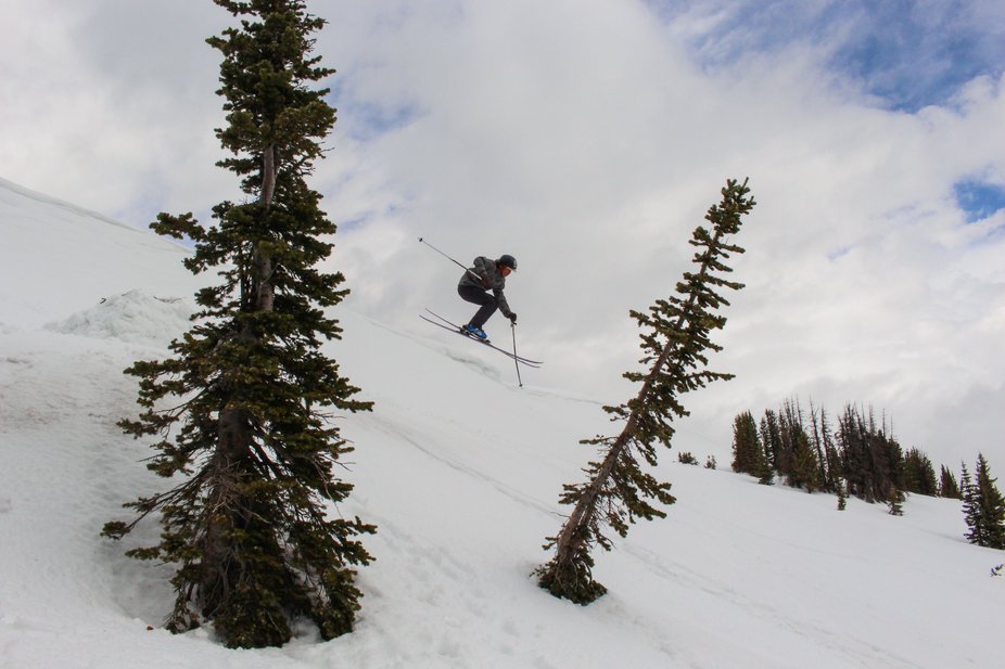
Plenty of spots to build things to fall off. 5/25/17. pc: @rickmills_
Hope some people find this useful, and please feel free to leave any feedback on what you’d want to see in Part 3, conditions reports, how bad my writing is, or if you’re looking for someone to ski with that shares your refusal to accept the changing of the seasons.

Comments