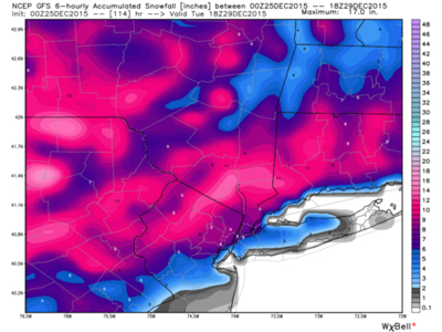
Newest model is coming in right now (11:26 EST) and it's looking pretty good so far. The blue / red dotted lines are the temperature at 850 mb, or roughly 5000 feet. Anything above 540 is above freezing, and 850mb is considered a critical part of the atmosphere to have below freezing to get substantial snow. Notice the high placement.

It's centered roughly over Quebec, and since highs spin clockwise cold air will be funneled down from far NE canada right into the precipitation.
It's still really early but there's finally something to track. I'll post more maps as they come out. Merry Christmas hopefully it's finally time to get this party started!