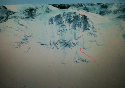
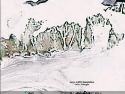
How is everyone scoping sick ski runs and shit with google earth these days, Like I was reading an article on some back country skiing up in baffin island and they were all scoping sick couloirs and shit from it. When I use google earth I can't get anything close to good enough to be able to tell whats a cliff and whats a chute when I zoom in. what am I missing here
A quick word on blocking ads

It looks like you are using an ad blocker. That's okay. Who doesn't? But without advertising revenue, we can't keep making this site awesome. Click the link below for instructions on disabling adblock.


