A quick word on blocking ads

It looks like you are using an ad blocker. That's okay. Who doesn't? But without advertising revenue, we can't keep making this site awesome. Click the link below for instructions on disabling adblock.
Welcome to the Newschoolers forums! You may read the forums as a guest, however you must be a registered member to post. Register to become a member today!
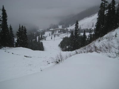
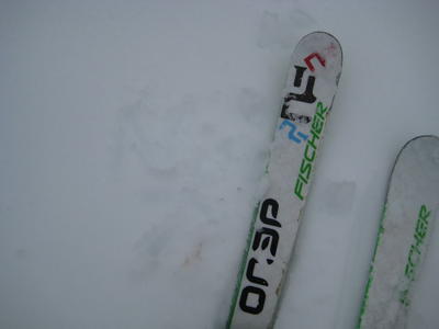
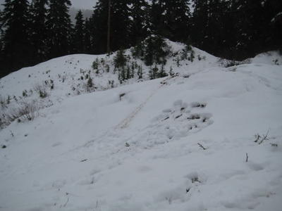
Yeah we have about 6-8 inches of very light snow on the ground this morning...Its gets the stoke factor going for sure! Not sure if it will stick around as a warming trend with precip will be moving in tonight and tomrrow. Theres definitely enough to get my jib on though...heres the recent weather report, should be some more snow early next week...
11/4/2008 Weather
Discussion: Cold air was able to quickly move in last night, drying out the atmosphere sooner than expected, thus the snow totals have decreased. Most of tomorrow should be dry with some sun breaks. A strong wet storm is approaching the coast for Wednesday night/Thursday.
Long-term models show a wet weekend with some cooling potential on Saturday. An active weather pattern is expected to continue into the first part of next week.
TRENDS AND TIMING
Precipitation: The tap should slowly turn off through the remainder of the day. Tomorrow looks pretty dry for most of the work day. Warm air advection (Chris Rudolf’s new favorite term) from the SW will bring the next batch of moisture sometime after 4pm tomorrow. Timing of the rain event is still a question, but we can expect most of the Thursday to be a soggy one.
Freezing levels: Freezing levels will start their journey up tomorrow on its way to 8000’ or higher by Thursday. Temps are expected to remain warm for weekend.
Looks good today too up at Stevens!


