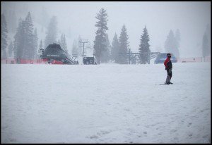
Another wave will rotate in tonight bringing back a steadier snow and then snow showers will continue through the day on Thursday. We could pick up another 3-6 inches tonight and 3-6 more tomorrow. By Thursday night when the snow ends we should be looking at storm totals in the 1-2 foot range on the mountain. We get a break on Friday & Saturday before the next storm moves in on Saturday night.
This next storm is tapping subtropical moisture from all the way down near Hawaii. This will make this storm warmer than the current storm with higher snow levels. I am expecting snow levels to be right around 7000 ft. through Sunday until a cold front moves through Sunday night. That means you will want to ride the mid-mountain chairs this weekend to stay in the fresh snow. 1-2 feet of thick snow are possible Saturday night through Sunday night above 7000 ft. Snow showers could continue through Monday as another wave rotates through behind the storm bringing the potential for several inches of lighter snow on top.
We get another break the middle of next week as the pattern undergoes a shift in the Pacific. The ridge has been over the Bering Sea allowing storms to move straight across the Pacific this week and pick up warm subtropical moisture. Next week the ridge is going to move South back to around 150-160w & 40n in the North Pacific. The storms starting the end of next week and going through mid-March will go up and over the ridge and down the West coast as colder storms. This will bring the potential for some bigger accumulations of ligther snow. The storm door looks to remain open for at least the next few weeks. BA

Comments