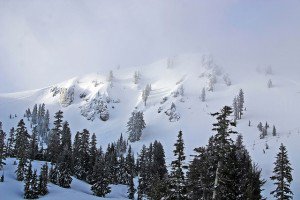
Temps will rebound today to close to 50 at the base and the 30′s up top. We should have clouds and sun today with some light snow showers from mid-mountain and up. Snow levels will rise back up to around mid-mountain this morning. Not expecting much accumulation just a dusting possible on the upper half of the mountain.
Tomorrow we have a break in the action with sunny skies and temps up into the 40′s on the mountain and 50′s at the base. We will continue in the same pattern of a ridge in the Northeast Pacific and moisture streaming underneath into Northern CA with the next wave arriving Wednesday.
Models have been back and forth with the amount of moisture with this storm but they all agree it will be colder than last night’s storm. Precip should move in by Wednesday afternoon with snow levels starting out around 7000 ft. then dropping below the base Wednesday night. Models have anywhere from .25 inches of liquid up to 1 inch. If we pick up the higher end we could have up to a foot of snow up top Wednesday night and several inches at the base. Worst case we should pick up several inches on the entire mountain.
We will begin to clear out on Thursday and Friday will be a nice day as the pattern shifts in the Pacific. The ridge in the Northeast Pacific will be replaced by several low pressures next week that will send colder air and storms into the Pacific NW. It also looks like we will have retrogression of the ridge this time out into the Central Pacific. That will allow the cold air to come further South next week as well as the precip.
The European model wants to drop the cold trough down the West Coast as early as Sunday but the GFS holds off until Tuesday. There will be a small storm on Monday and then there could be a couple of cold storms the second half of the week that would bring more snowfall. The temperatures will be below average and the snow levels below lake level starting Tuesday.
We saw this pattern coming for the second half of the month looking at the teleconnections over the past couple of weeks. The models didn’t see it but that is why you have to rely on old school teleconnection forecasting especially in the spring. This pattern of a trough along the West Coast with colder air and precip should reverse as we go into May. It may last into the first few days but I would expect that we finally get a prolonged break and some spring temps as we go into the month. BA

Comments