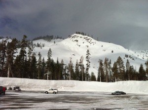
The sun is a welcome visitor this week as we allow the base to settle from all of the snow and we can finish digging out. It is going to be quite a contrast as the ridge builds in this week and temperatures rise throughout the week. Today we start in the 30′s but then rise into the 40′s on Tuesday and then the 50′s Thursday and Friday. We could even break 60 at the base on Thursday and Friday. That will make for some incredible spring skiing on the this huge base.
We still have almost 2 more months to go here so we are not done with snow yet. The flow stays fairly progressive over the next couple of weeks, so the ridge moves to our East this weekend. That will allow a storm to move in to our North on Saturday and Sunday. It is looking pretty week right now with only light snowfall on the mountain. The biggest change will be windy and colder weather over the weekend with highs only in the 30′s & 40′s.
Long-range models can be pretty unreliable this time of year with the change in the seasons. Teleconnections may be more telling as they are a semi-constant in the chaos of the weather patterns. They favor a ridge along the West coast through next week and the models do show a ridge moving back in the beginning of the week. As we go into the second week of April the teleconnection forecasts show a pattern that would once again favor a retrogression of the ridge and a trough along the West coast. That could mean the return of below average temps and some snow.
Enjoy the nice weather during the weekdays these next two weeks as we see sunny skies and nice temps. We have an amazing snowpack to start April. BA

Comments